
South Charleston Neighbor Record Sources
The immediate block around a South Charleston address is best studied as a set of adjacent parcels. The state map establishes which lots touch or face the target. The county assessor adds owner, mailing, situs, deed, and assessment clues. A voter file has separate legal rules and cannot be treated as a household census. Historical directories and maps show an earlier block, while city planning and ward resources explain civic geography.
| Source | What It Reveals Around a Block | Access Route |
|---|---|---|
| WV Property Viewer | Parcel shapes, GIS IDs, owners, addresses, map layers | Free online map |
| Kanawha property search | Current owner, mailing and situs address, legal description, deed clues | Free online search |
| Voter information | Permitted registration and district fields, not all occupants | Name and birth-date lookup or lawful paid request |
| City ward and planning maps | Municipal and planning context | City pages and public plan |
| Polk directories | Past names and addresses where an edition includes the area | KCPL, in-library |
| Sanborn maps | Historic structures and land-use context | WVU digital collection |
No row answers every question. The parcel map can show titled ownership, not all residents. Voter information covers registered voters only. A directory entry is dated and may omit people. Combine records only when names, addresses, parcel facts, and dates agree.
Map South Charleston Neighbors Nearby
Open the West Virginia Property Viewer and enter a South Charleston E-911 address, or select Kanawha County with the property-address mode. The E-911 box is for a physical address, not a rural route or post office box. Parcel attributes can also be searched by full parcel ID, owner name, or an incomplete property address.
- Locate the target and zoom until parcel boundaries become active, at about the 1:18,056 scale documented in the research.
- Turn on parcel or tax-district boundaries and address labels. Click the target and save its GIS ID and Basic Information.
- Pan to each touching lot and each parcel across the street. Record owner, situs, mailing address, legal description, and assessment year separately.
- For a wider area, use Point, Rectangle, or Polygon geometry with a buffer, then narrow the result table.
- Use Print, Share, or Bookmark to preserve the map context before checking county records.
The assigned GIS capture shows the viewer used for the block method.
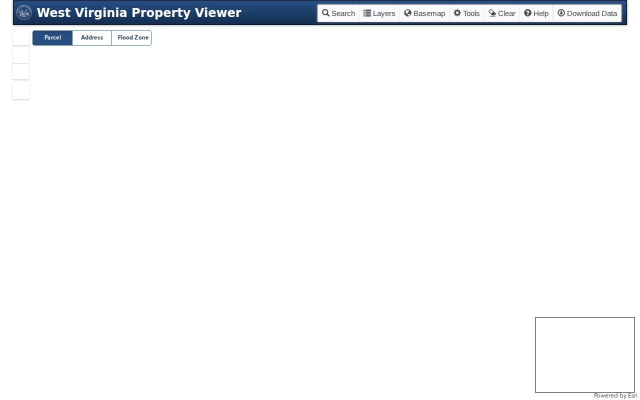
The viewer caps results at 1,000 and is not a certified boundary survey. Verify a disputed line against the recorded plat or deed. For a full named-street chain rather than the immediate radius, use the South Charleston street directory.
Read South Charleston Parcel Details
After collecting the mapped lots, open the Kanawha County Property Record Search. It accepts owner name, parcel address, account number, district, map and parcel, property type, legal description, and deed book and page. Any combination may be used. Owner names follow the LAST NAME FIRST NAME format without a comma.
Three fields must remain distinct. The current owner is the titled taxpayer or entity. The street or situs address is the physical location. The mailing address is where tax correspondence goes. A matching mailing and situs address can support an owner-occupancy clue, but it is not conclusive. A different mailing address does not prove the building is vacant, and a homestead or exemption field, if present, is not a list of household members.
- Parcel
- A mapped unit of land identified for assessment and record purposes.
- Situs address
- The physical location assigned to the property.
- Mailing address
- The destination used for official correspondence, which may be elsewhere.
- Plat
- A recorded drawing that divides land into lots, blocks, streets, or easements.
Entities, trusts, estates, and public agencies may appear as owners. Never convert an entity name into an assumed resident. Use deed book and page only when ownership history is relevant to the block question.
South Charleston Map Layers Add Context
MapWV includes parcel and tax-district boundaries, address labels, flood zones, and reference layers. These tools can explain why two nearby parcels have different district labels or why an apparent open area has its own property identity. Measurement and text-markup controls can help preserve notes, while Print permits a map title, user note, and generated link.
The city grew from an orderly grid planned after a 1906 land acquisition of about 1,800 acres. Modern parcels may still use subdivision, lot, and block language, including Jefferson Park descriptions. That legal geography is more stable than a casual neighborhood label. South Charleston also has two main postal anchors, 25303 and 25309, but ZIP codes do not define the city boundary or a neighborhood.
Map tip. Save each GIS ID before clicking the next lot, because similar addresses and adjoining municipal parcels can be easy to confuse.
Voter Rules Limit Neighbor Lookups
The West Virginia voter lookup requires one person's first name, last name, and full date of birth. It cannot browse an address, block, or ZIP. Its role is confirming an individual registration and polling information when the required facts are already known, not discovering all neighbors on a street.
West Virginia Code §3-2-30 allows inspection and production of voter information under published rules. Permitted fields may include name, residence address, party, registration status and date, precinct, districts, and certain participation information. Phone, email, Social Security number, and driver's-license or nonoperator ID number are excluded. Ballot choices are never inferred from party or participation data.
A county or statewide file is a separate paid request through election officials. Selection, format, delivery, and use restrictions apply, including a ban on prohibited solicitation, advertising, and resale. Protected voters may have substituted or redacted addresses. The narrow public form and the requested file should never be described as the same product.
The official captured lookup below shows the one-person form.
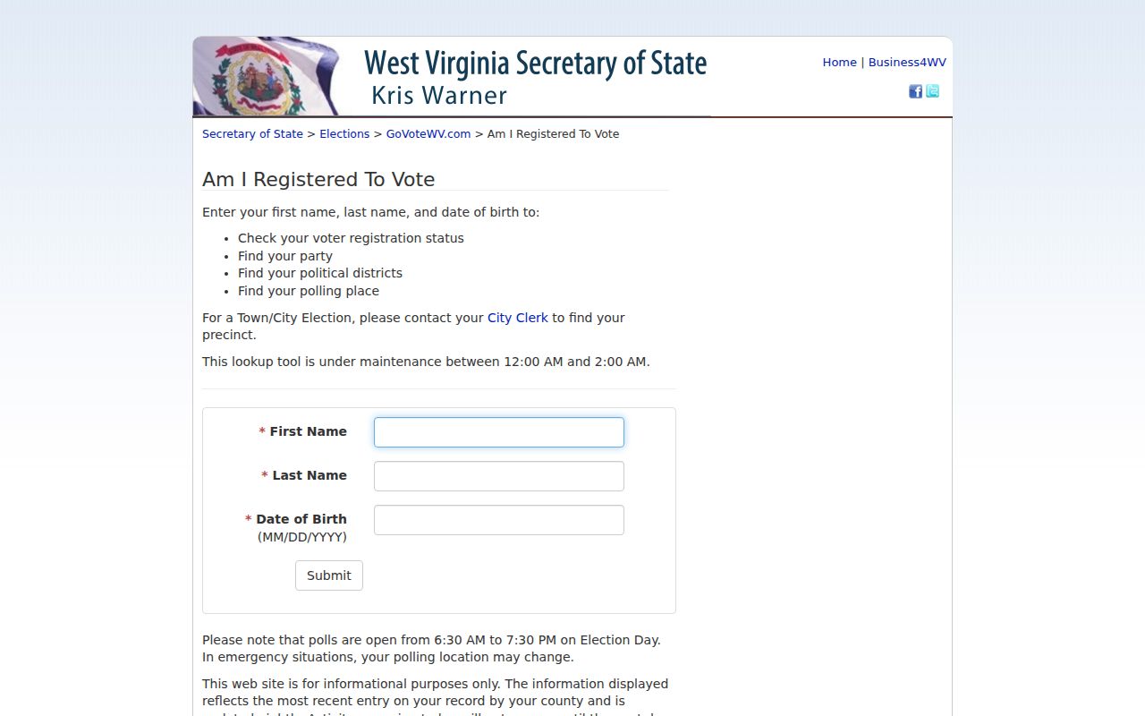
Its required identity fields show why it cannot function as a public block directory.
South Charleston Community Directory Limits
The research found civic geography but no official citywide neighborhood-association or homeowners-association directory. That gap matters. A private roster is not presumed public, and parcel ownership does not prove membership. Ask an organization directly whether it publishes a voluntary directory rather than reconstructing one from unrelated records.
| Local resource | Useful block context | Public roster status |
|---|---|---|
| City ward map | Municipal ward geography | Map, not a member list |
| City comprehensive plan | Planning labels including Jefferson Park | No association directory found |
| South Charleston Historical Foundation | Named museum and Belgian Glass history lead | No separate member catalog found |
| KCPL Local History | Directories, newspapers, and reference help | Service contacts, not patron data |
| Civic, faith, and block-watch groups | Voluntary community contact | No official public roster located |
The South Charleston Museum and Interpretive Center at 313 D Street is a history contact, not a neighbor database. Its link to the Historical Foundation may help locate deposited community material. The city ward map and plan can identify official geography, while KCPL can help with older published sources.
Older South Charleston Neighbors
Historical neighbor work uses different evidence. KCPL's in-library Polk directories cover Charleston and neighboring suburbs from 1908 to the present. When a street section exists, read several entries before and after the target number to reconstruct a dated block. Then check each name in the alphabetical section for spelling, spouse, or occupation. Coverage varies, and an omitted renter or relative may still have lived there.
The WVU Sanborn collection includes a 1933 Charleston set that names South Charleston, plus earlier Charleston sheets. These maps show building footprints, use, and materials, not occupants. State Archives also lists Spring Hill Cemetery deeds from 1876 through 1915, but those deeds are not a complete interment database.
Historic postal wording can shift results. USPS changed the preferred last line for ZIP 25303 from Charleston to South Charleston in 2014. Search both labels, and keep lot, block, subdivision, and parcel identifiers beside the street text. This method respects how old sources were organized instead of forcing today's label onto every result.
Official Records Beat Neighbor Profiles
Commercial neighbor tools may merge parcel, voter, marketing, and address-history data. Their dates and sources are often unclear. Official systems also have limits, but they state the keeper, field meaning, and access rule. Return a commercial lead to MapWV, the assessor, the clerk, the library, or election officials before relying on it.
| Question | Official source | Commercial category |
|---|---|---|
| Who owns the next parcel? | Dated assessor and map record with parcel ID | May show an old merged name |
| Who lives there now? | No complete public household roll | May imply occupancy without proof |
| Where is the boundary? | Parcel map as a clue, recorded plat for verification | Source and survey status may be unclear |
| Who lived there before? | Directories, deeds, census, and archives by date | Address histories may omit dates or provenance |
A strong neighbor lookup keeps uncertainty visible. It does not turn a parcel owner into every resident, a voter into a ballot choice, or a planning label into an association boundary.
Protect South Charleston Neighbors
Household composition, renters, guests, children, utility customers, and delivery records are not guaranteed public. Federal law restricts motor-vehicle address data. Court, vital, juvenile, sealed, and expunged material may also be absent from public results. Missing data can reflect a legal limit, not a search failure.
The West Virginia Address Confidentiality Program provides a substitute address and mail forwarding for qualifying survivors. Covered-person redaction under state law can also remove residential details. Never use other sources to reverse-engineer a protected location. Contact someone through a public business, civic, or voluntary channel when there is a legitimate reason.
South Charleston residents can use public information for block history, civic participation, reconnecting, or general personal safety. Those goals do not justify watching, intimidating, or repeatedly contacting a person. Confirm a fact with the record custodian and respect a clear request for no contact.
Lawful use. West Virginia law prohibits stalking and harassment. Do not expose, track, threaten, or harm any person found through a neighbor search.